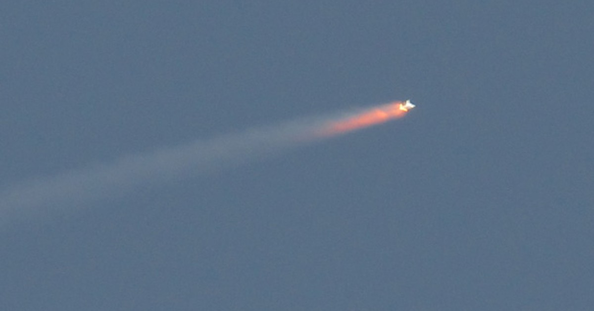
A satellite built for NASA and the French space agency Center National d’Etudes Spatiales (CNES) to observe almost all of the water on the surface of our planet lifted off on its way to low Earth orbit at 3 46 a.m. PST Friday. The Surface Water and Ocean Survey (SWOT) spacecraft also benefits from contributions from the Canadian Space Agency (CSA) and the British Space Agency.
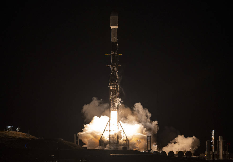
The SWOT spacecraft launched atop a SpaceX rocket from Space Launch Complex 4E at Vandenberg Space Force Base in California with a three-year primary mission. The satellite will measure the water level in freshwater bodies and the ocean over more than 90% of the Earth’s surface. This information will provide insight into how the ocean influences climate change; how a warming world affects lakes, rivers and reservoirs; and how communities can better prepare for disasters such as floods.
– Advertising-
After SWOT detached from the second stage of a SpaceX Falcon 9 rocket, ground controllers managed to acquire the signal from the satellite. Initial telemetry reports showed the spacecraft to be in good health. SWOT will now undergo a series of verifications and calibrations before starting to collect scientific data in about six months.
“Warmer seas, extreme weather, more severe wildfires – these are just some of the consequences humanity faces as a result of climate change,” said the NASA Administrator, Bill Nelson. “The climate crisis requires a holistic approach, and SWOT is the realization of a long-standing international partnership that will ultimately better equip communities to meet these challenges.”
SWOT will cover the entire surface of the Earth between 78 degrees south latitude and 78 degrees north latitude at least once every 21 days, returning approximately one terabyte of raw data per day. The scientific heart of the spacecraft is an innovative instrument called the Ka-band radar interferometer (KaRIn), which marks a major technological breakthrough. KarIn bounces radar pulses off the surface of the water and receives the return signal using two antennas on either side of the spacecraft. This arrangement – one signal, two antennas – will allow engineers to accurately determine the height of the water surface in two bands at once, each 50 kilometers wide.
“We can’t wait to see SWOT in action,” said Karen St. Germain, director of NASA’s Earth Sciences Division. “This satellite represents how we are improving life on Earth through scientific and technological innovations. The data the innovation will provide is essential to better understand how the Earth’s air, water and ecosystems interact – and how people can thrive on our changing planet.”
Among the many benefits the SWOT mission will provide is a significantly clearer picture of Earth’s freshwater bodies. It will provide data for over 95% of the world’s lakes over 15 acres (62,500 square meters) and rivers over 330 feet (100 meters) wide. Currently, freshwater researchers only have reliable measurements for a few thousand lakes around the world. SWOT will increase that number to millions.
Along the coast, SWOT will provide sea level information, filling observation gaps in areas that do not have tide gauges or other instruments that measure sea surface height. Over time, this data could help researchers better track sea level rise, which will directly affect coastal communities and ecosystems.
Such an ambitious mission is possible thanks to NASA’s long-standing commitment to working with agencies around the world to study the Earth and its climate. NASA and CNES have built a decades-long relationship that began in the 1980s to monitor Earth’s oceans. This collaboration pioneered the use of a space-based instrument called an altimeter to study sea level with the launch of the satellite TOPEX/Poseidon in 1992.
“This mission marks the continuation of 30 years of collaboration between NASA and CNES in the field of altimetry,” said Caroline Laurent, Director of Orbital Systems and Applications at CNES. “It shows how international collaboration can be achieved through an innovative mission that will help us better understand climate change and its effects around the world.”
SWOT measurements will also help researchers, policymakers, and resource managers better assess and plan for things like floods and droughts. By providing information on where the water is – where it comes from and where it goes – researchers can improve river flood projections and monitor the effects of drought on lakes and reservoirs.
“SWOT will provide vital information given the pressing challenges posed by climate change and sea level rise,” said Laurie Leshin, director of NASA’s Jet Propulsion Laboratory (JPL). JPL developed the KaRIn instrument and manages the American part of the mission. “This SWOT will fill the gaps in our knowledge and inform future actions and is the direct result of commitment, innovation and collaboration going back many years. We are excited to launch SWOT science.
More information about the mission
JPL, operated by NASA from Caltech in Pasadena, Calif., is leading the US component of the project. For the flight system payload, NASA provides the KaRIn instrument, a scientific GPS receiver, a laser retroreflector, a two-beam microwave radiometer, and NASA instrument operations. CNES provides the Doppler Orbitography and Radioposition Integrated by Satellite (DORIS) system, the Poseidon dual-frequency altimeter (developed by Thales Alenia Space), the KaRIn radiofrequency subsystem (with Thales Alenia Space and with the support of British Space), the satellite platform and the ground control segment. The ASC provides the KaRIn high power transmitter assembly. NASA provides the launch vehicle, and the agency’s Launch Services Program, based at Kennedy Space Center, manages the associated launch services.

“Typical thinker. Unapologetic alcoholaholic. Internet fanatic. Pop culture advocate. Tv junkie.”